-Hind River Ranch Project
James,
Here are the areas I want to discuss with you today before I finalize the Interactive Program according to my notes:
ADDING PROPERTY LINES TO HISTORICAL AERIALS
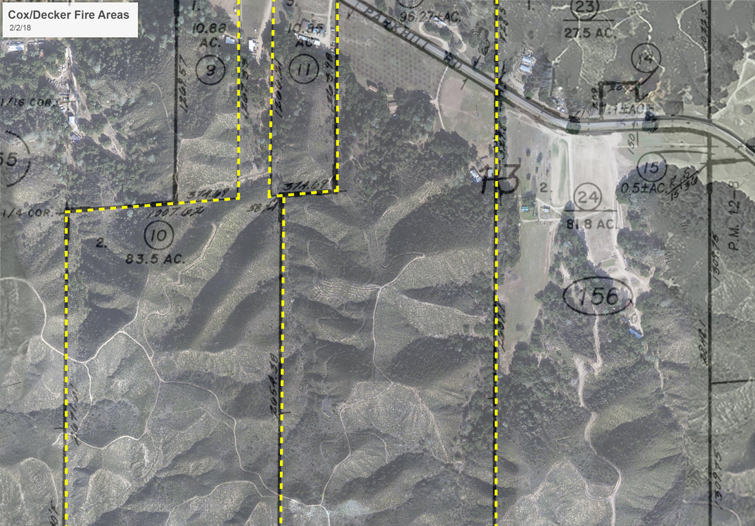
Task One is to add accurate property lines to your historical aerial images. To get these property lines laid out accurately, I referred to the plot provided to us by Jack Klauschie. In your materials I've included the original plot as well as this shaded version in the event you feel you should include it in your presentation. Even if you do not include it in your PowerPoint, you probably should keep these handy for reference at trial.
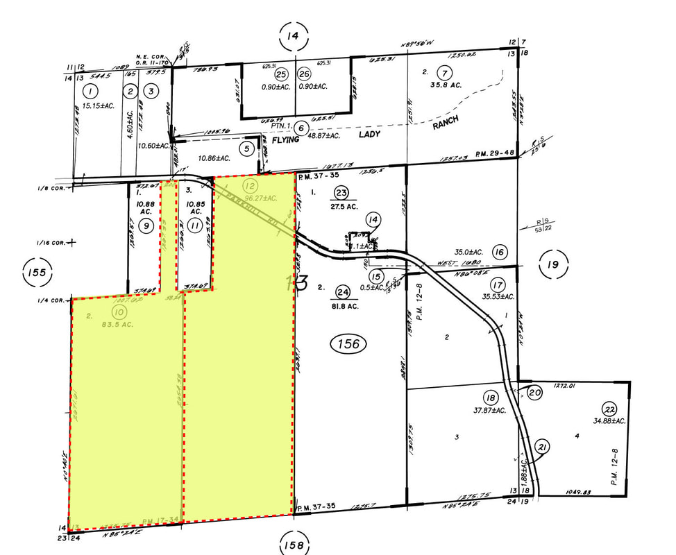
When I apply the property lines to the historical aerials you are using, the upper and lower limits of the property are cut off (SEE BELOW). This probably doesn't matter because the area of claimed damage falls within the area shown. However, if you want me to pull historical aerials that show the full limit of the property boundaries just let me know.
BEFORE & AFTER CLEARING IMAGES:
The second task is to give you the digitally cleared images for you to include in your PowerPoint. My notes show that we settled on these three images. I'm including the original above the digitally cleared images below. If you want any changes or if you'd like to use different images, just let me know.
Image 2669 ORIGINAL IMAGE:
Image 2669 ORIGINAL IMAGE:
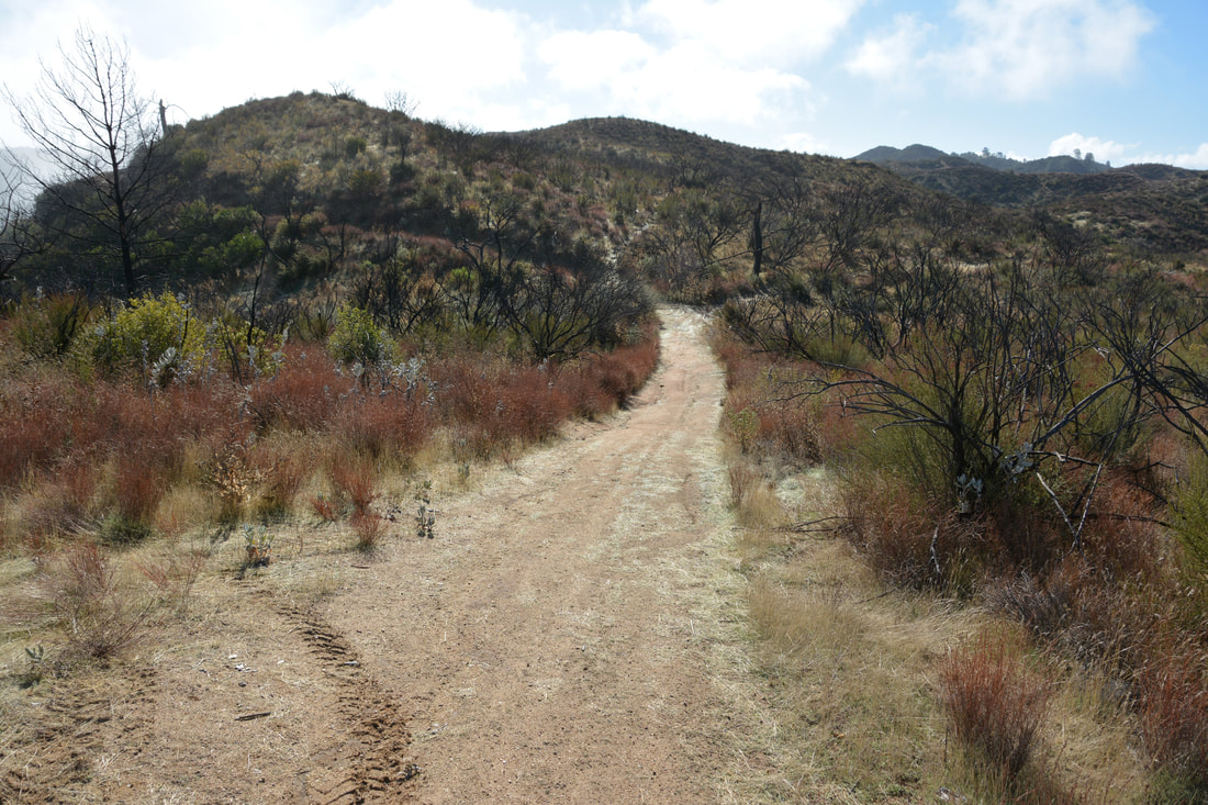
Image 2669 AFTER CLEARING:
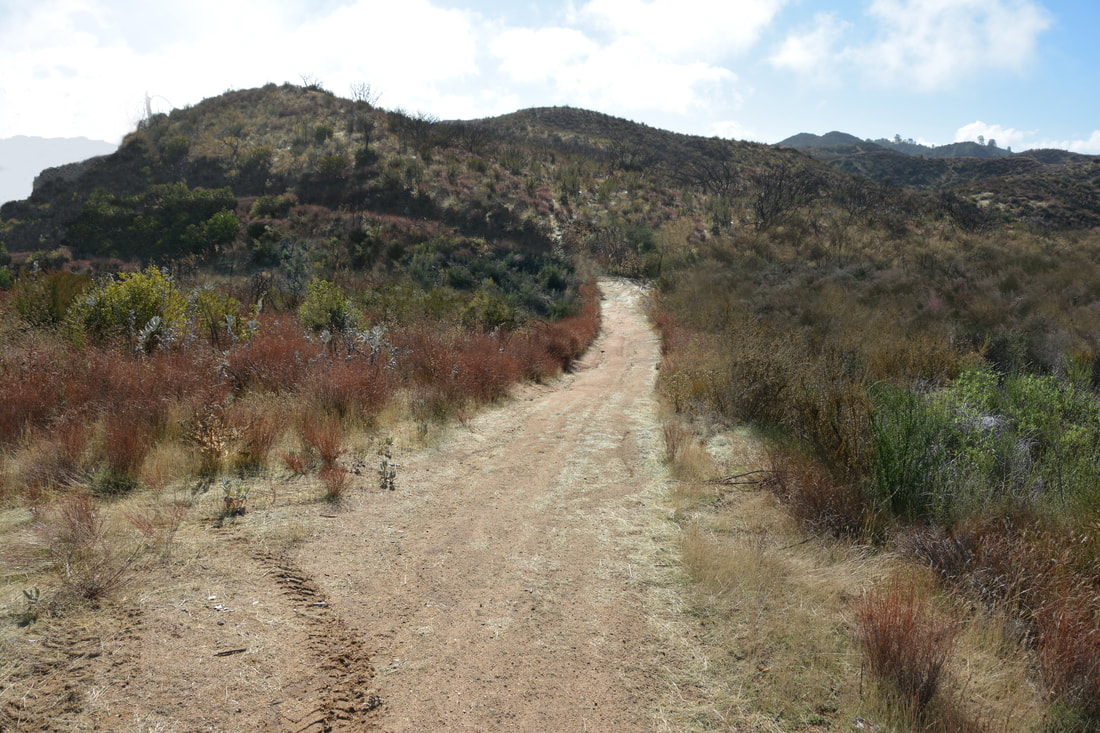
Image 2816 ORIGINAL IMAGE:
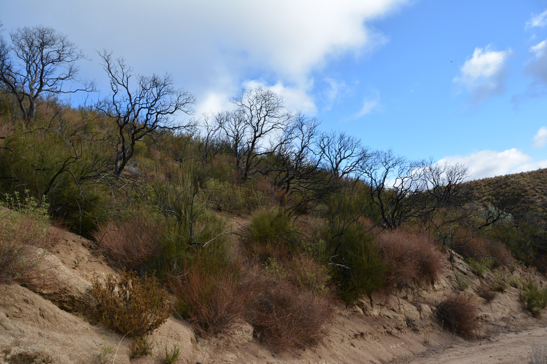
Image 2816 AFTER CLEARING:
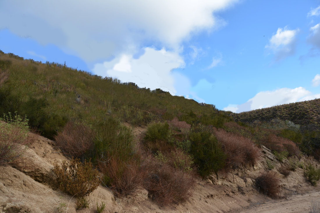
Image 8321 ORIGINAL IMAGE:
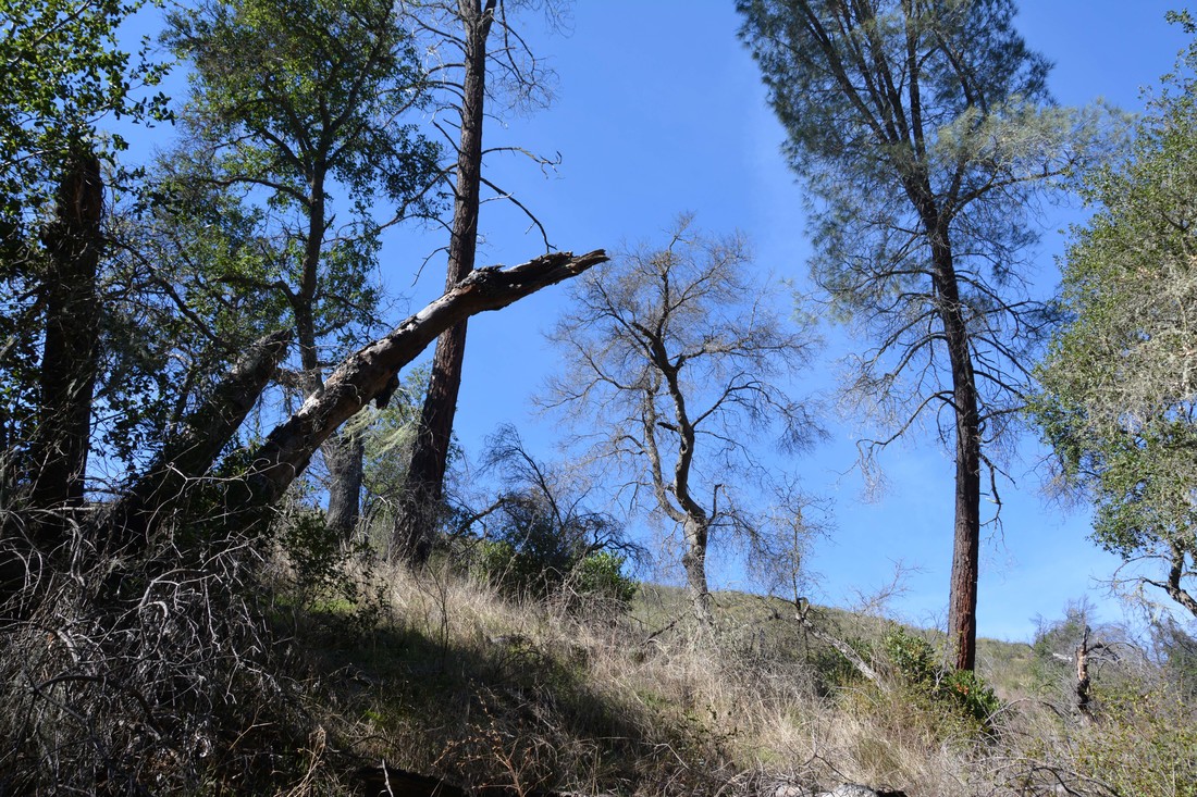
Image 8321 AFTER CLEARING:
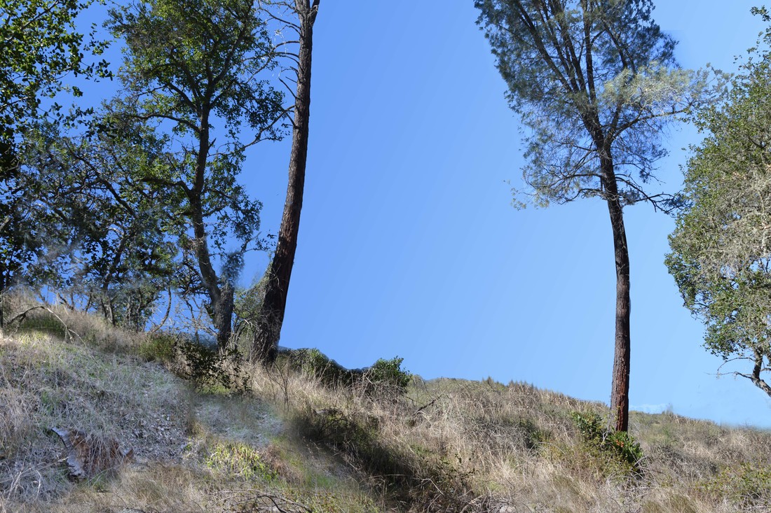
2016 Waypoints - New Manzanita growth
James:
My notes show that we want to be able to turn on ONLY the 2016 Waypoints with Manzanita new growth that you provided to me. I have the following photographs for Waypoints 16, 17, 18, 19, 40 and 45. I want to make sure I understand this correctly. If this is correct, I will provide a feature in the interactive application that turns everything off except these waypoints with a title that says "New Manzanita Growth Areas - 2016"
There will be a button that you click that takes you back to the main application.
Please look these over and make sure I understand this correctly:
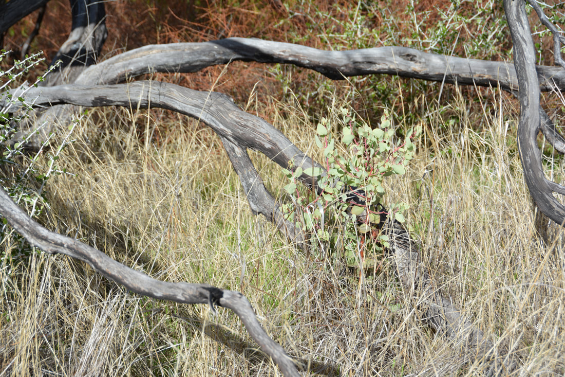
Waypoint 16 - Manzanita growth 2016:
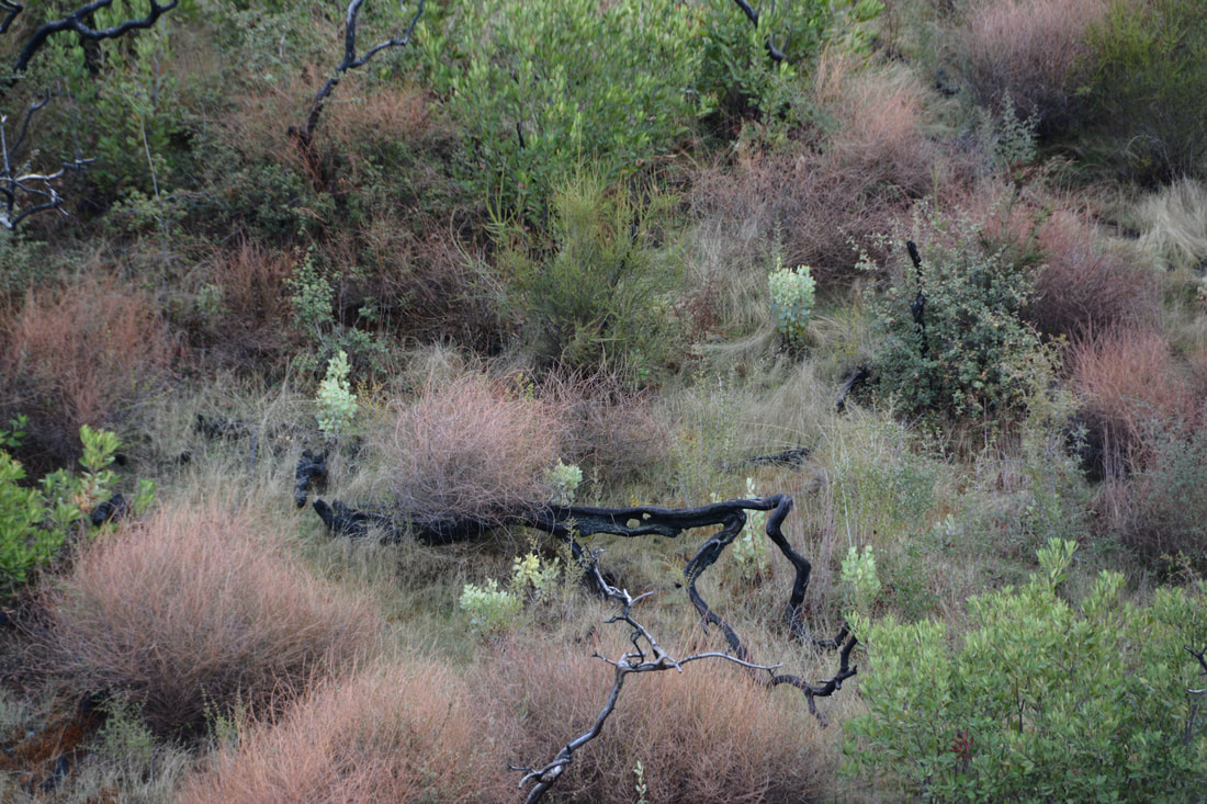
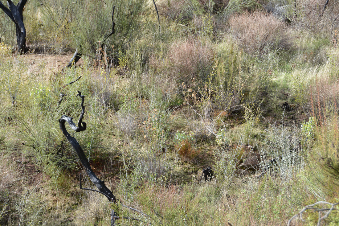
Waypoint 17 - Manzanita growth 2016:
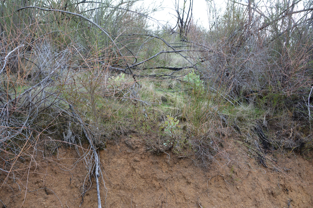
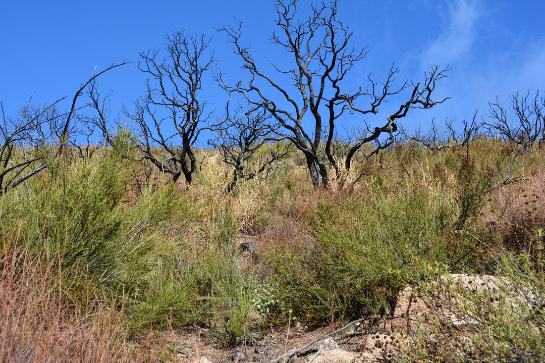
Waypoint 18 - Manzanita growth 2016:
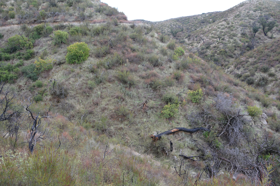
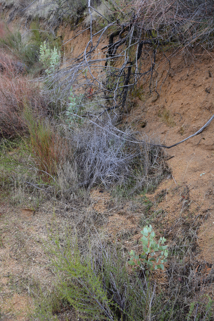
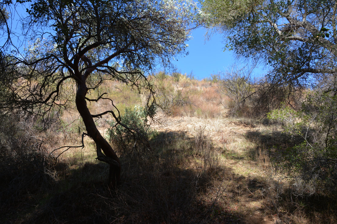
Waypoint 19 - Manzanita growth 2016
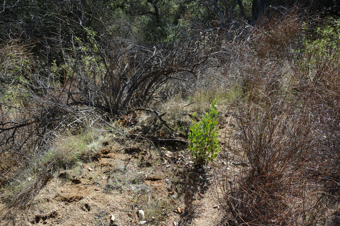
Waypoint 27 - Manzanita growth 2016
Waypoint 40 - Manzanita growth 2016
Waypoint 45 - Manzanita growth 2016
QUESTION: 2016 Waypoints Near Residence
My notes show that I am to "Add waypoints (2016) and images showing undamaged areas near residences." I DO NOT have a collection of 2016 images to accompany waypoints near the residences. Can you get me the 2016 waypoints AND the images that are referred to in this item? This will be easy to do, but I do not have any idea right now what images and waypoints this task refers to.
THANKS -
MARK